10 Incredible Trail Runs in the Great Lakes Region
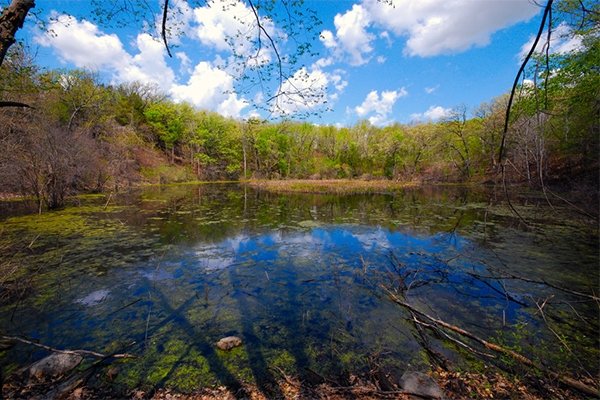
Not to be overlooked, the upper Midwest offers runners challenging trails over glacier-carved terrain.
- - -
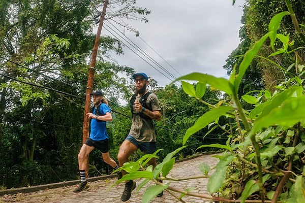
While the Midwest may not have the mountainous terrain that has come to be synonymous with trail running, it does have its share of amazing single-track trails that will put a smile on any runner’s face. You won’t find large mountains, but much of the upper Midwest includes glacier-carved terrain that will present more of a challenge than you might expect.
Depending on the season’s snowfall and the location of a specific trail, the best time of year to trail run near the Great Lakes is late spring through early fall. While the mercury can dip into freezing temperatures overnight into June, by the height of summer the region’s climate is hot and humid, so get out early in the day or wait until evening to try out these trails.
Before you go, make sure you're prepared for anything with a decent pair of Mountain Running® shoes like the La Sportiva Wildcat or Ultra Raptor, sunscreen, more hydration than you think you'll need, and maybe even tuck a light weight waterproof jacket into your pack in case of unexpected weather.
Now that your gear list is set, if you’re looking to enjoy a trail run in the Great Lakes region here are 10 of our recommendations:
1. KETTLE MORAINE STATE FOREST SOUTHERN UNIT, WISCONSIN
Located 37 miles southeast of Milwaukee (and about a two-hour drive from Chicago), Kettle Moraine is the go-to spot for trail runners hailing from these two midwestern metropolises. You’ll find hardwood forests, pine plantations, and prairie, accompanied by challenging up-and-down terrain. The best single-track is located in the John Muir Trails (32 miles) on the south side of the preserve and the Emma Carlin Trails (12 miles) in the central part of the forest.
2. PICTURED ROCKS NATIONAL LAKESHORE, MICHIGAN
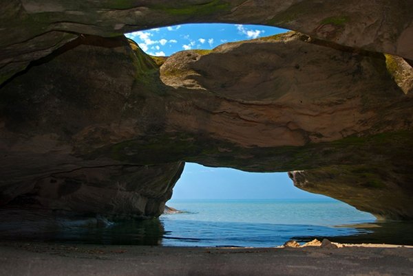
This preserve operated by the National Park Service is located on Lake Superior, or perhaps more accurately, above Lake Superior on Michigan’s Upper Peninsula. The sandstone cliffs that rise above the lake make for one of the region’s more impressive vistas. The park covers 42 miles of the Lake Superior shoreline and features 90 miles of trails; try the Chapel Loop for a 10-mile loop, with lots of spur variations to add or remove mileage. About 4.4 miles of this loop follows the Lakeshore Trail along picturesque cliffs and passes two waterfalls, Chapel Rock and Grand Portal Point, along the way.
3. SUPERIOR HIKING TRAIL, MINNESOTA
For a more accessible view of the largest Great Lake, the 310-mile Superior Hiking Trail in northern Minnesota is a single-track gem that covers the mostly forested region from near Duluth to the Canadian border. You’ll run through birch, aspen, pine, fir, and cedar trees in the Superior National Forest and reach the ridgeline of the Sawtooth Mountains, which offers spectacular views of the lake. The trail is very well-organized for thru-hikers, and trail runners will find easy access points all along the way. The sections closest to Duluth are most popular, but if you have the time to travel northeast, try the 6.4-mile section from the Lutsen Mountains Recreation Area to Caribou Trail, which parallels the Poplar River and Lake Agnes.
4. ISLE ROYALE NATIONAL PARK, MICHIGAN
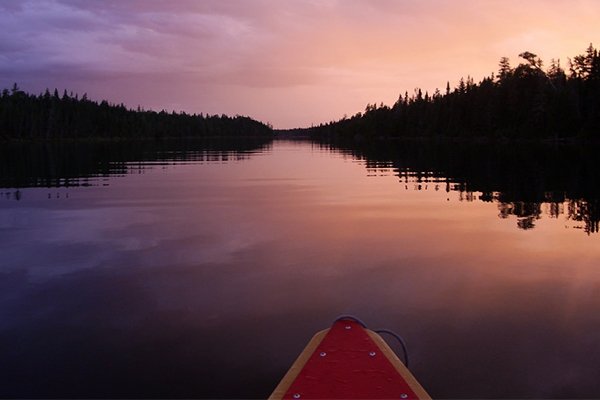
An island in Lake Superior just south of Thunder Bay (Canada accessible only by boat or floatplane), it takes some effort to get out to Isle Royale National Park but is a worthwhile endeavor. Open from May to September with most of the less than 20,000 visitors each year visiting for the fishing, you’ll likely have the trails to yourself. While exploring more than 165 miles of trails, consider running to the Ojibway Fire Tower on the northeast side of the island. Starting at the Daisy Farm Campground, run either a 3.5-mile round trip or 5.1-mile loop that climbs to the highest point on the island’s eastern side.
5. CHEQUAMEGON-NICOLET NATIONAL FOREST, WISCONSIN
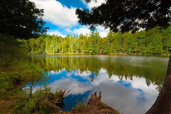
The area around Cable, Wisconsin has become a popular destination for mountain bikers, as the Chequamegon Area Mountain Bike Association has helped create more than 300 miles of trails through the national forest. It’s the home to the American Birkebeiner, the most popular cross-country ski race in the US. In September, the same trail system is used for the Birkie Trail Run Festival- distances ranging from 5K to 100K. When there’s no snow on the ground, you can run on the Birkie Trail System, a combination of smooth single-track and grassy paths covering more than 100 kilometers through the forest. Just be prepared to work, as this glacier-carved region is filled with hills.
6. TAHQUAMENON FALLS STATE PARK, MICHIGAN
The Midwest isn’t particularly known for its waterfalls (you know, the flat thing), but Tahquamenon Falls State Park, located on the northeast coast of Michigan’s Upper Peninsula, features two of its finest. The Upper Falls is one of the largest east of the Mississippi, measuring more than 200 feet across and cascading 50 feet down. The Lower Falls, four miles downstream, features a series of five smaller cascades surrounding an island. For runners, the 4.8-mile trail between the two is densely packed with vegetation and a fun way to visit both natural wonders.
7. PORCUPINE MOUNTAINS WILDERNESS STATE PARK, MICHIGAN
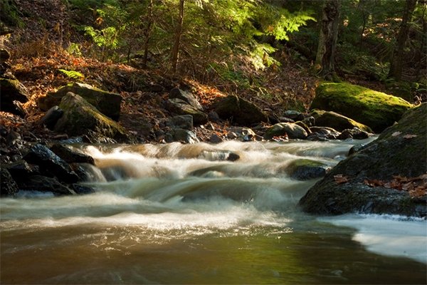
Situated on Michigan’s Upper Peninsula, this state park features another ridgeline trail that packs a punch. The 4.3-mile Escarpment Trail is challenging, but you’re rewarded with stunning views of the Lake of the Clouds, Lake Superior, and the Carp River Valley. Once again, it takes some effort to get to this isolated section of the UP near the Wisconsin border, but you won’t be disappointed.
8. PINCKNEY RECREATION AREA, MICHIGAN
The 17-mile Pinckney-Potawatomi Trail may not be quite as spectacular as the offerings on the UP, but at 15 miles from Ann Arbor, it’s an excellent option for an accessible single-track trail run. While navigating the hilly and mostly tree-covered trail, you’ll pass several lakes and if you’re not up for the full 17-mile loop multiple spurs offer runners the opportunity to create shorter routes.
9. INDIANA DUNES STATE PARK, INDIANA
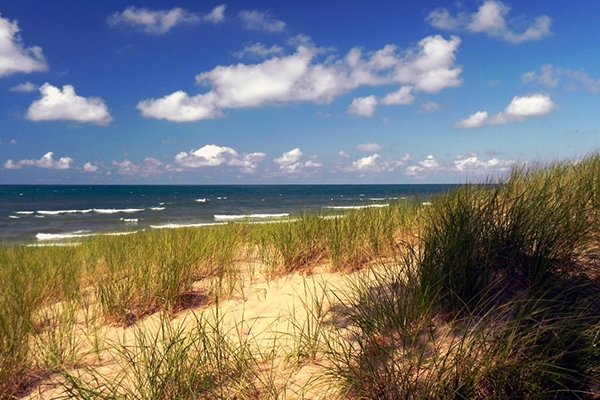
Located at the southern tip of Lake Michigan and easily accessible from Chicago, Indiana Dunes State Park features three miles of sandy beach, with a long-distance view of the Chicago skyline on a clear day. The dunes next to the beach offer some of the most challenging hiking around and are a unique experience for trail runners looking for a different kind of destination run. The park has seven different trails—rated from easy to rugged—which tour the dunes and the adjacent nature preserve. After the challenging run, a dip in Lake Michigan sure feels nice.
10. PALOS TRAIL SYSTEM, ILLINOIS
The Palos Trail System is a 30-minute drive southwest of downtown Chicago, and the group of forest preserves feature nearly 40 miles of trails, single-track mixed in with multi-track roads. Shorter sections of wide-open prairie provide contrast to the mostly tree-covered trails, which offer welcome shade and cooler temps in the summer. No, you won’t mistake it for the Rockies—or the UP for that matter—but it is surprisingly hilly for the Chicago area and an excellent option to take your running off-road.
Photos in order of appearance: ©Joshua Mayer (Preview; Photo 4), Gary McCormick, Jackie Dangl, Robert Emperley, Clint Midwestwood.
Originally written by RootsRated for La Sportiva.

